Universal City maps its most dangerous roads and sets a Vision Zero goal
Universal City's new safety plan identifies the city's highest-risk roads and intersections and sets a long-term goal of eliminating fatal and serious crashes.
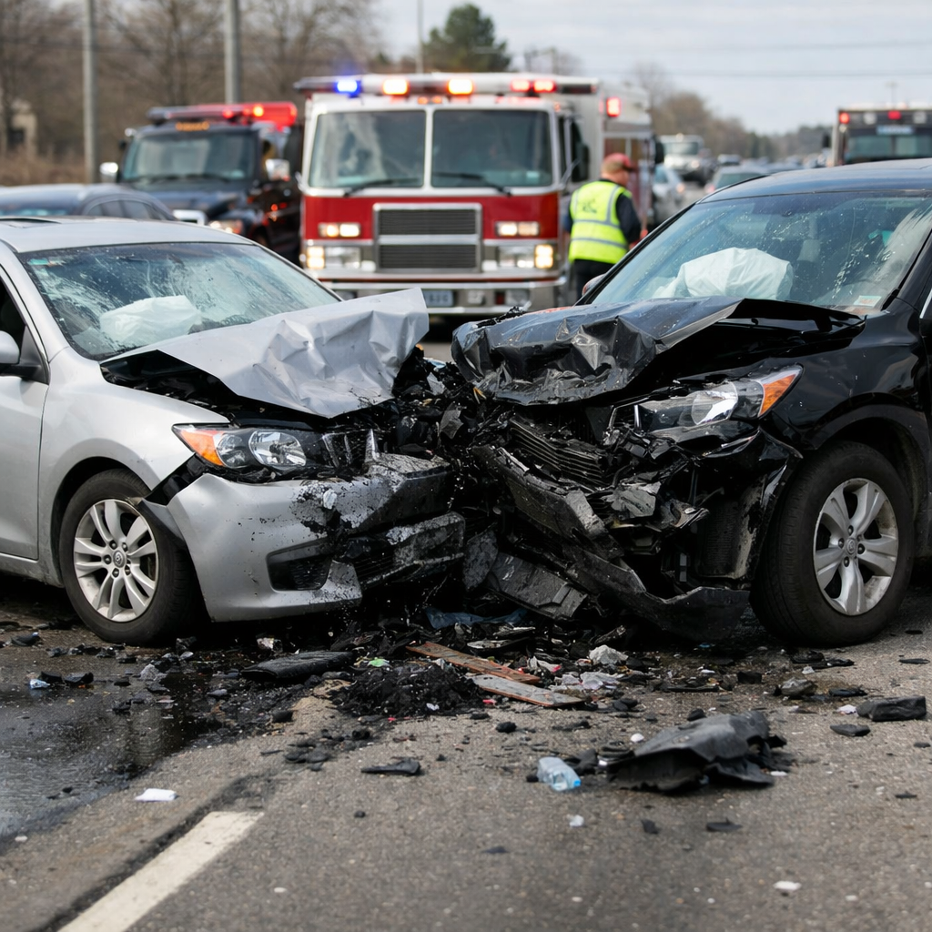
UNIVERSAL CITY — Universal City has documented 688 traffic crashes over the past five years, and city officials say nearly two-thirds happened on a relatively small set of streets now classified as the city's High Injury Network.
At the March 3 council meeting, consultant Danielle Metzker Gaza of Kimley-Horn presented an update on the city's Comprehensive Safety Action Plan, a federally backed effort tied to the Safe Streets and Roads for All program.
The city's long-term goal is straightforward: eliminate roadway fatalities and serious injuries by 2050.
The presentation grouped the most common crashes into several categories, including fixed-object crashes, rear-end crashes, angle crashes and left-turn crashes. The city's heat map showed recurring trouble spots along Kitty Hawk Road, FM 78 and parts of Pat Booker Road.
The draft plan proposes three kinds of fixes:
- intersection projects focused on the worst crash locations
- corridor improvements along the highest-risk road segments
- systemwide upgrades such as turn lanes, improved flashers and other proven safety treatments
The city also said public input shaped the plan. Consultants cited more than 400 survey responses, two pop-up events and multiple meetings of a local safety task force.
Council members pressed on issues residents see every day, including crosswalk safety near parks and schools and whether current crash data fully reflects traffic shifts caused by I-35 construction.
Universal City plans to bring the final safety action plan back for adoption in April. Once adopted, the city can compete for implementation grants to fund the actual construction work.
For residents, the public value of the plan is simple: it gives the city a map of where crashes keep happening and a public record of what officials say they want to do about it.